
Georgia - A Hiking Adventure in the Caucasus Mountains

Surrounded by majestic alpine giants, Mestia is the gateway to a hiker’s playground in Georgia’s Caucasus Mountains. Snow-capped peaks, dense forests, mighty glaciers, verdant hills, rushing rivers, and medieval stone towers decorate the landscape in this nature lover’s paradise. Hiking from village to village introduces you to the nurturing hospitality of this gorgeous, remote region of Georgia.
Trip Recap
- Day 1: Hiking to Koruldi Lakes offered breathtaking views and a peaceful retreat.
- Day 2: Hiking through lush forests to Zuruldi Ridge for jaw-dropping mountain vistas.
- Day 3: Excited for the Mestia to Ushguli trek, I set off on a multi-day adventure.
- Day 4: Conquered a fierce glacial river on a full day of hiking the Caucasus Mountains
- Day 5: Ushguli's alpine landscapes and ancient architecture made every step worthwhile!
Highlights

Hike in the Caucasus Mountains
Wander ancient villages
See the iconic Svan Towers
Taste Georgian food and drinks
Visit Ushguli
Enjoy time in the beautiful Svaneti landscapes
Day 1
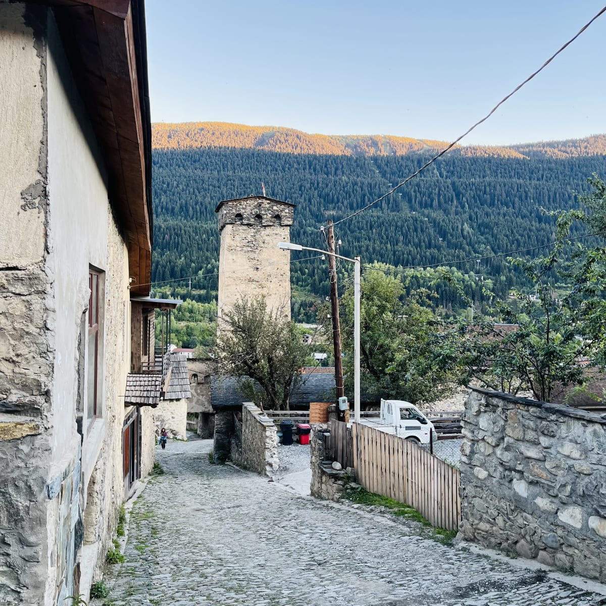
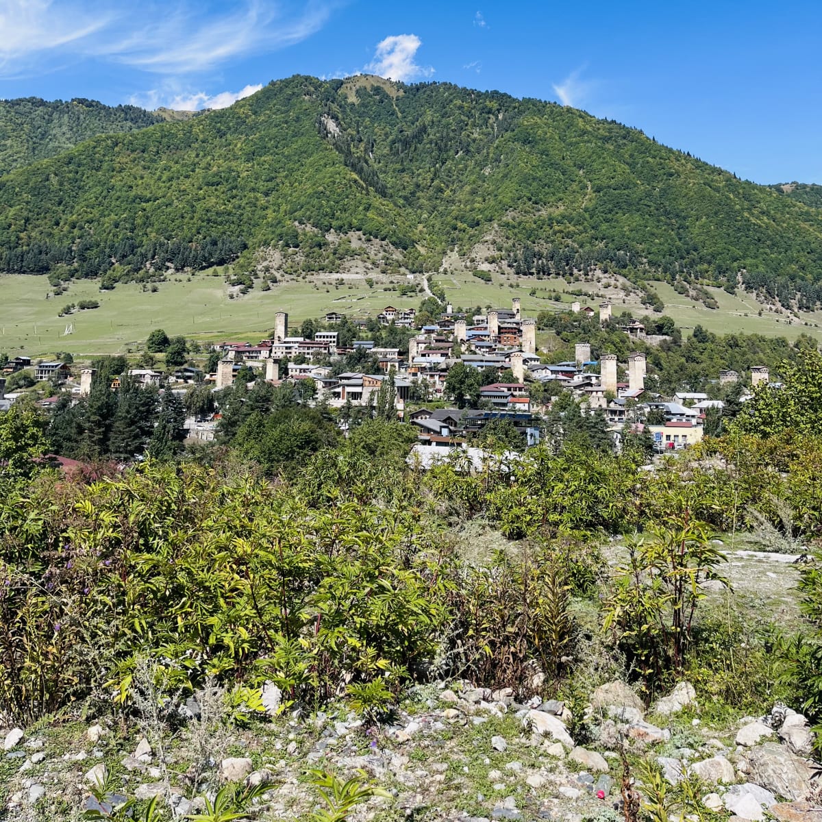
I arrived in Mestia ready for a hike and decided to warm up my legs with a climb to the Koruldi Lakes. The trek begins from Seti Square and quickly gains elevation through a pine forest. I recommend not rushing the beginning of the hike, as you have a stunning view of the ancient Svan towers in this beautiful mountain town. The higher I climbed, the more astonishing the vistas of snow-capped peaks became.
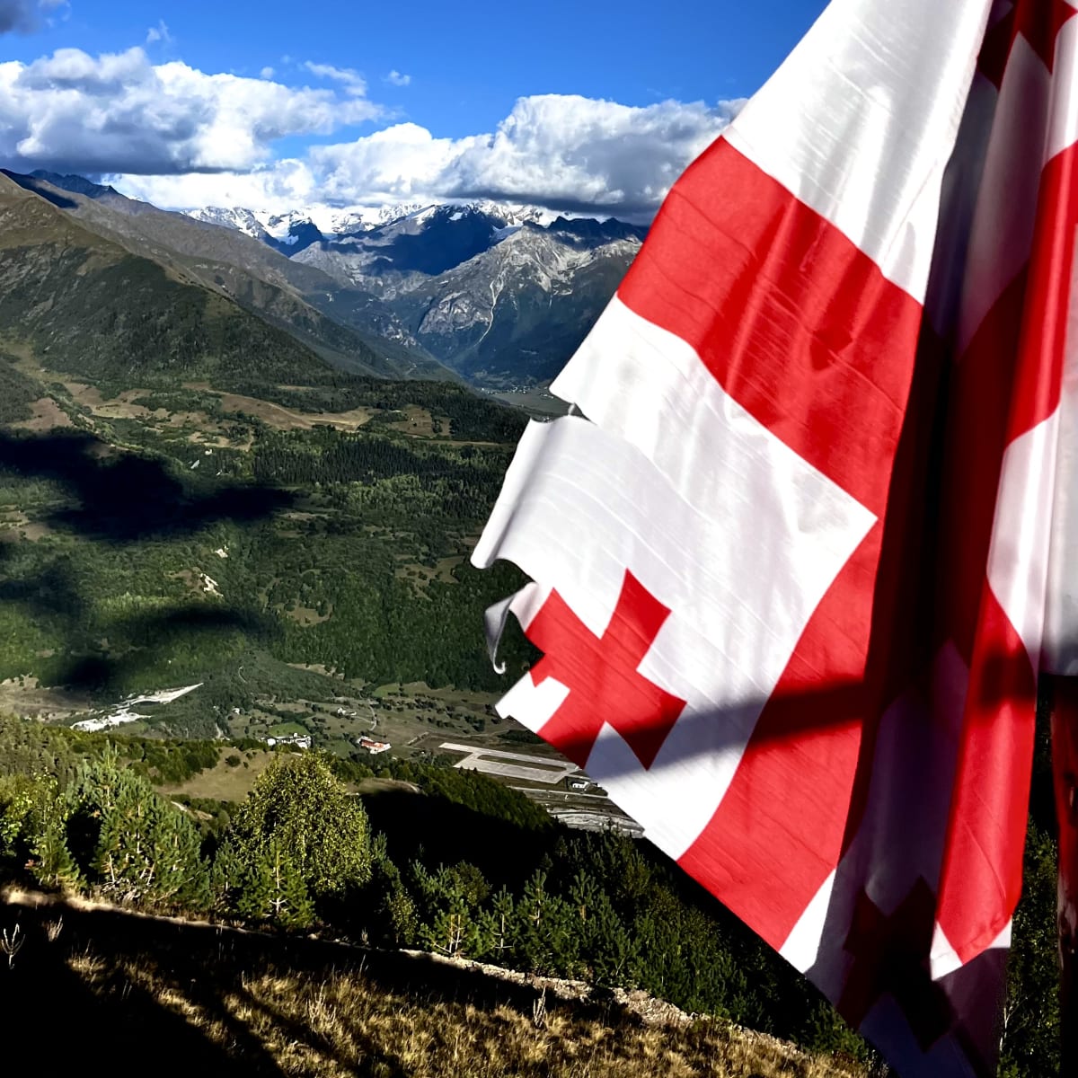
As I emerged from the forest, the Mestia Cross overlooking the town came into full view. This is definitely one of the most photogenic spots on the trail. Just beyond the cross, a rustic cafe offers water, coffee, and snacks before the ascent continues. The trail merges with a jeep track, as some visitors opt for a 4x4 vehicle to get around. Here, I found a group of horses grazing in the alpine meadows as the midday sun warmed the landscape.
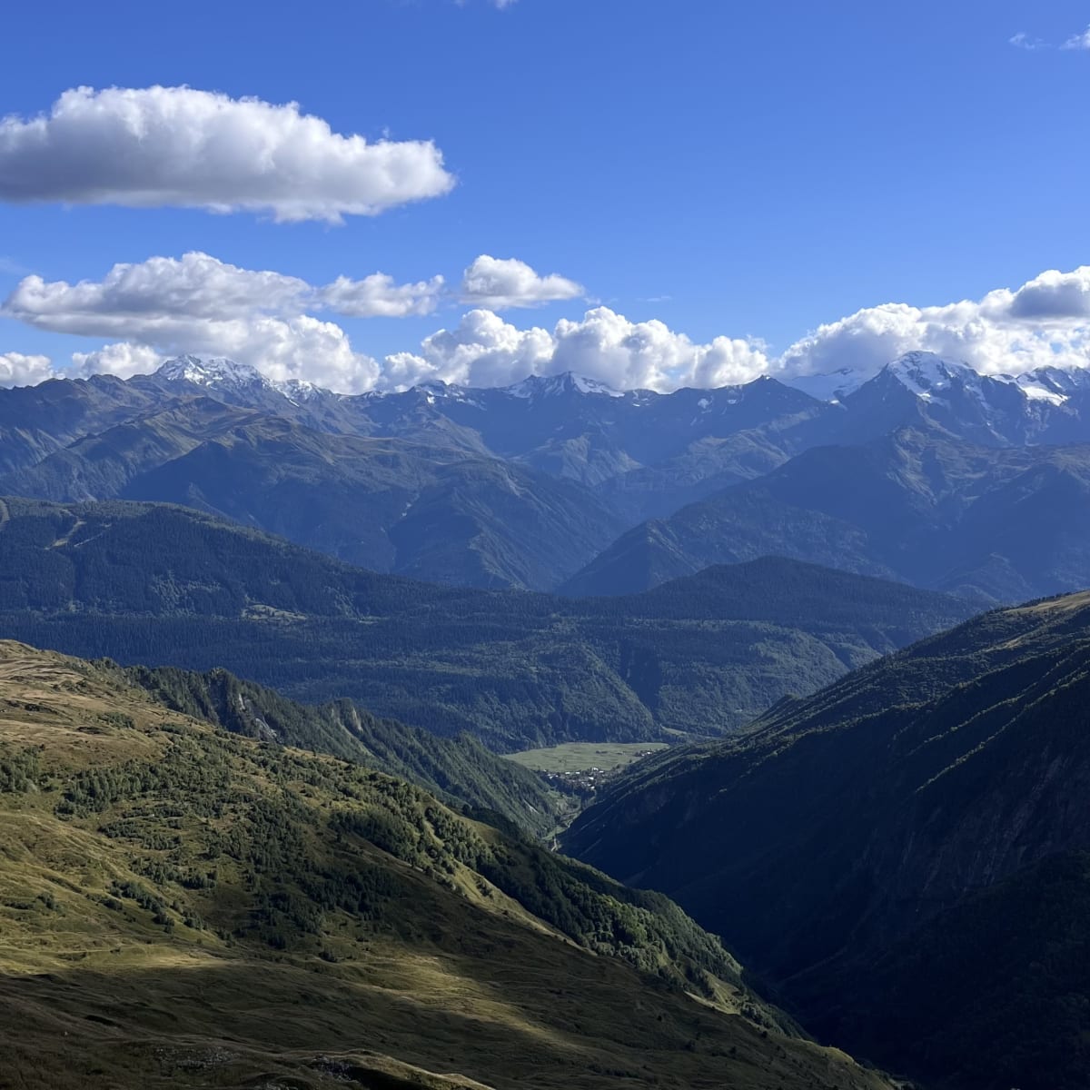
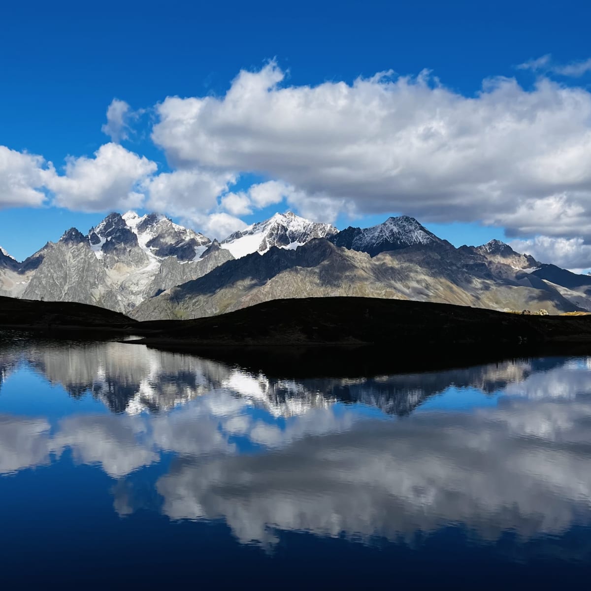
The ridge leading up the lakes was the steepest, most challenging part of the climb. At the higher elevation, the jagged mountaintops appeared almost face-to-face. Stillness filled the air as I approached the lakes, creating a peaceful environment where barely a sound was heard. Although the Koruldi Lakes themselves aren’t too impressive, it’s the 360-degree panoramic mountain views that steal the show. I rested for a while, enjoying the quiet surroundings and taking photos of the mountains reflecting on the lakes.
The Koruldi Lakes were my turnaround spot, as nightfall was only a few hours away. Hikers can continue climbing further up the ridge crest for more dramatic views. But I returned to Mestia by sunset. On my descent, I stopped by the cafe at the Mestia Cross for a coffee and enjoyed the scenery a little longer before getting back to town.
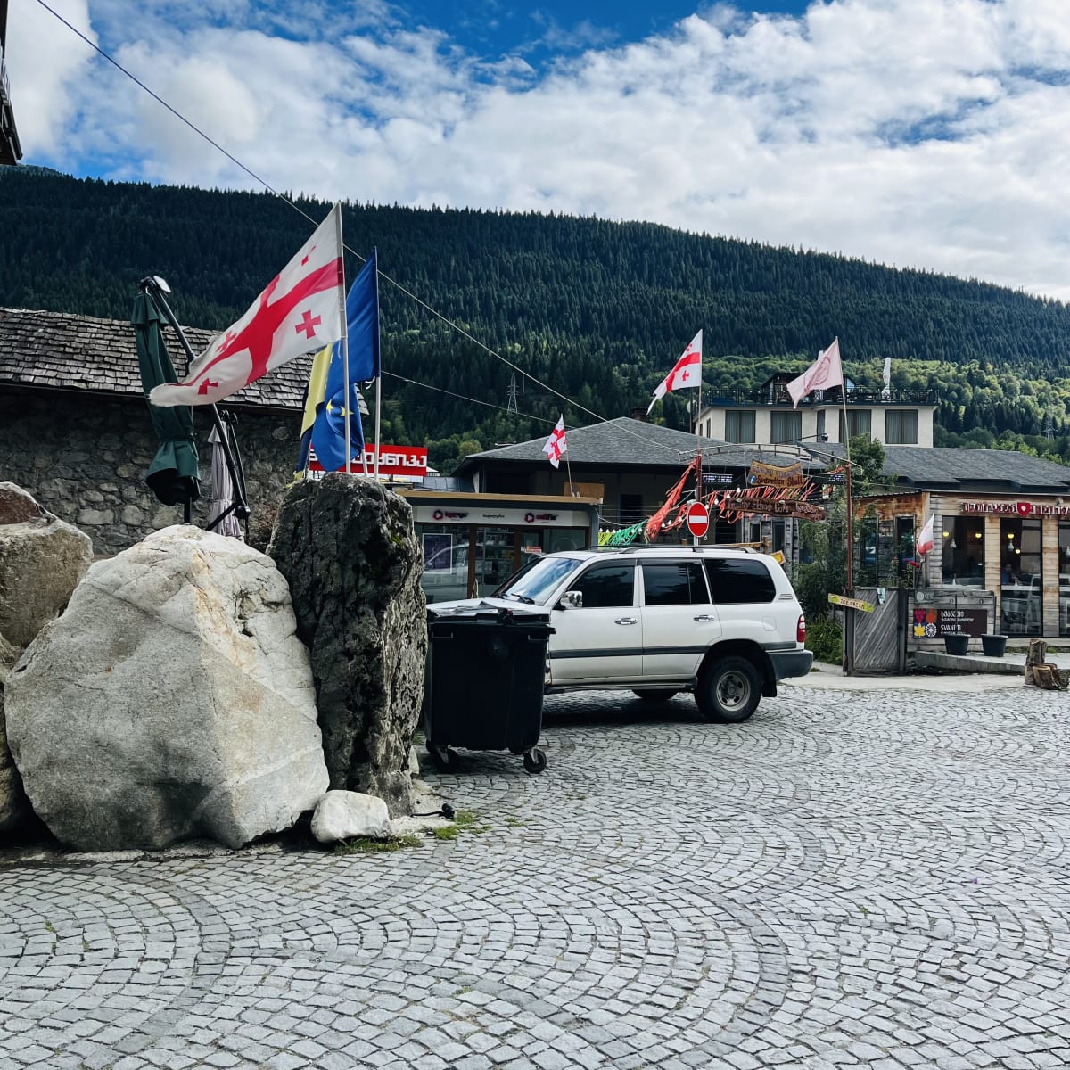
That evening, I grabbed dinner at Café Laila to try traditional Georgian food and wine. The restaurant sits in the town center and is a popular hangout for locals and travelers. I tried kubdari, a meat-filled bread that’s the national dish of Georgia’s Svaneti region.



Day 2
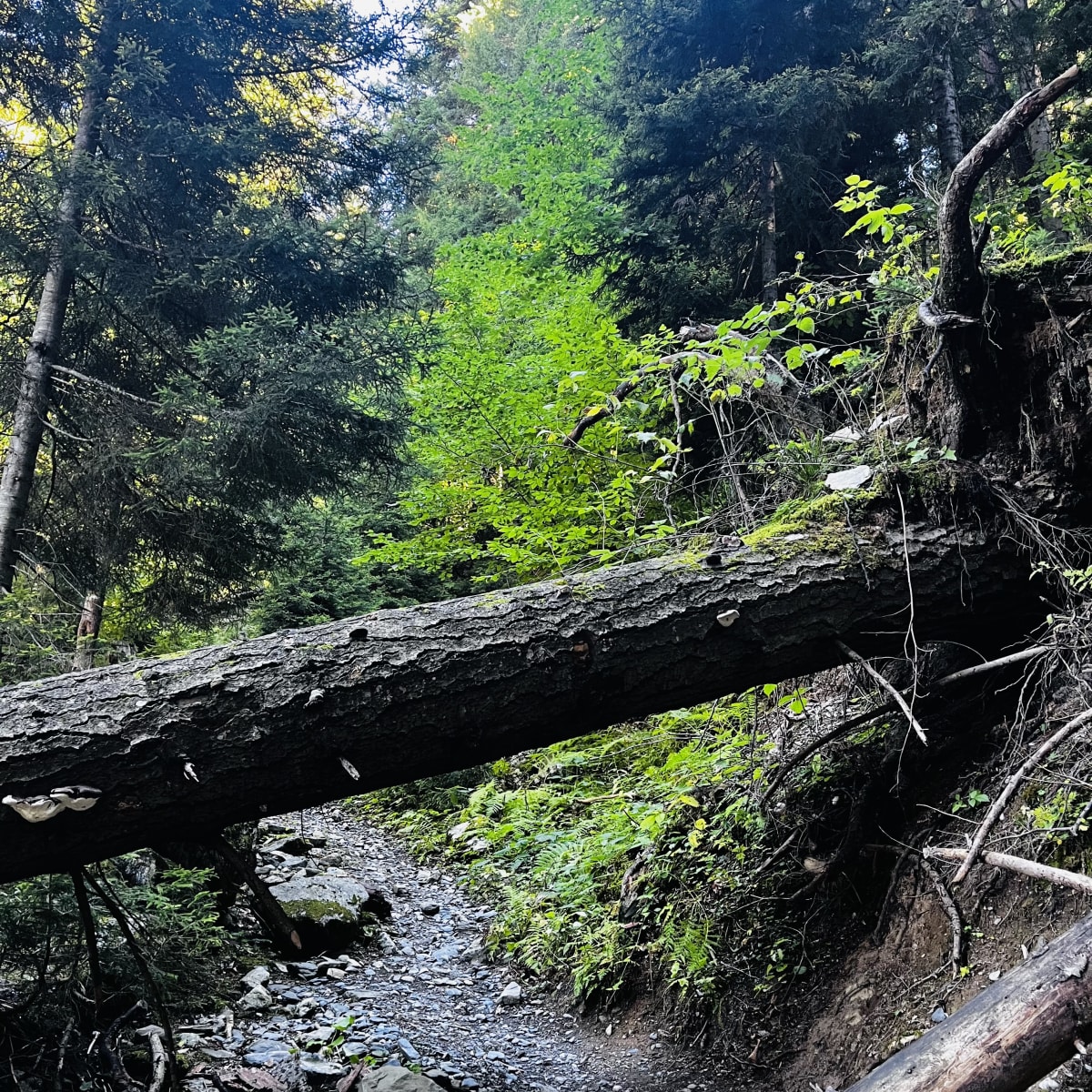
Another day in Mestia, another day hike! Today’s adventure was an interesting trek through a subalpine coniferous forest and a steep series of switchbacks to the Zuruldi ridge. The trailhead began on the opposite side of the river that winds through Mestia. I quickly found myself in dense forest, surrounded by towering firs, spruces, and pines. The path wasn’t easy to navigate, as moss-covered rocks, downed trees, and sturdy roots created obstacles. Despite the challenging vegetation, trudging through the forest brought me a sense of peace.
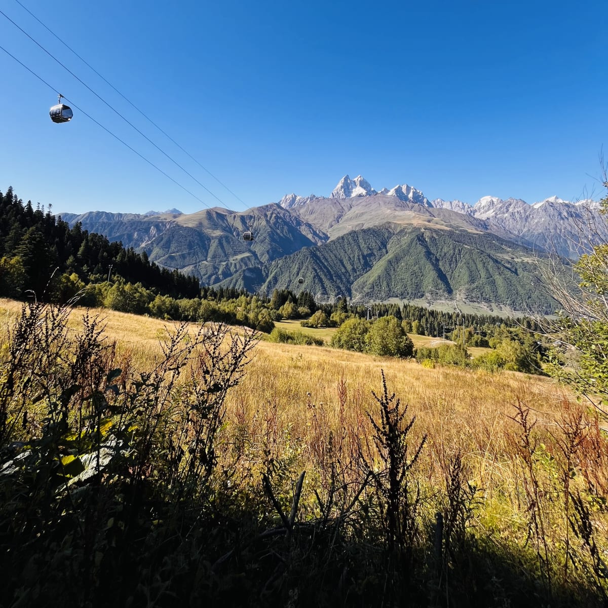
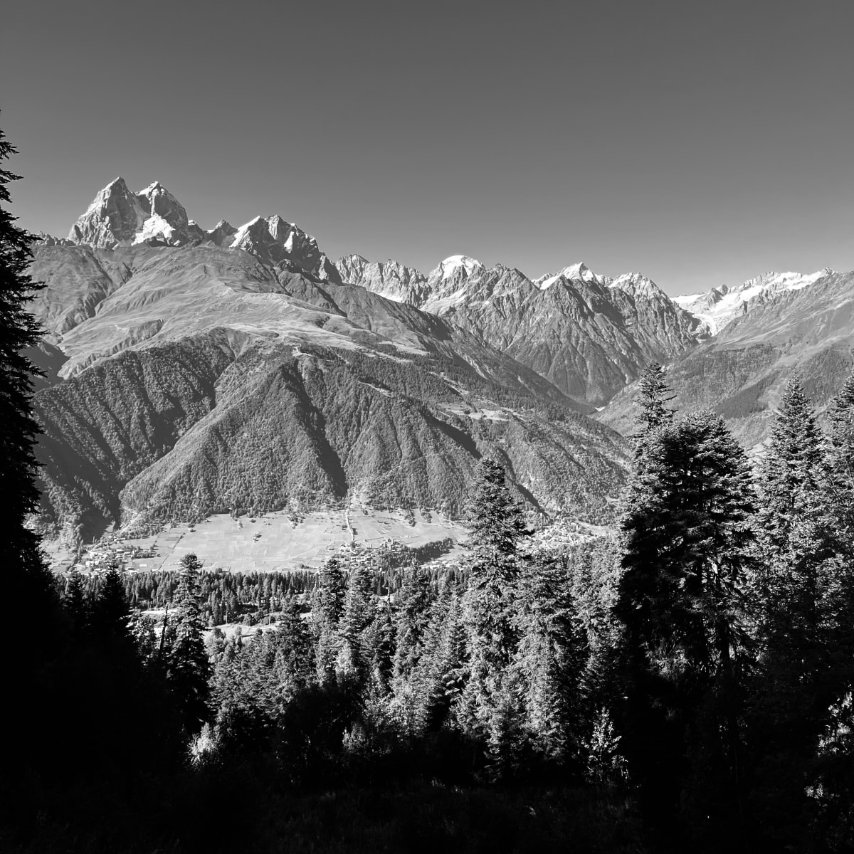
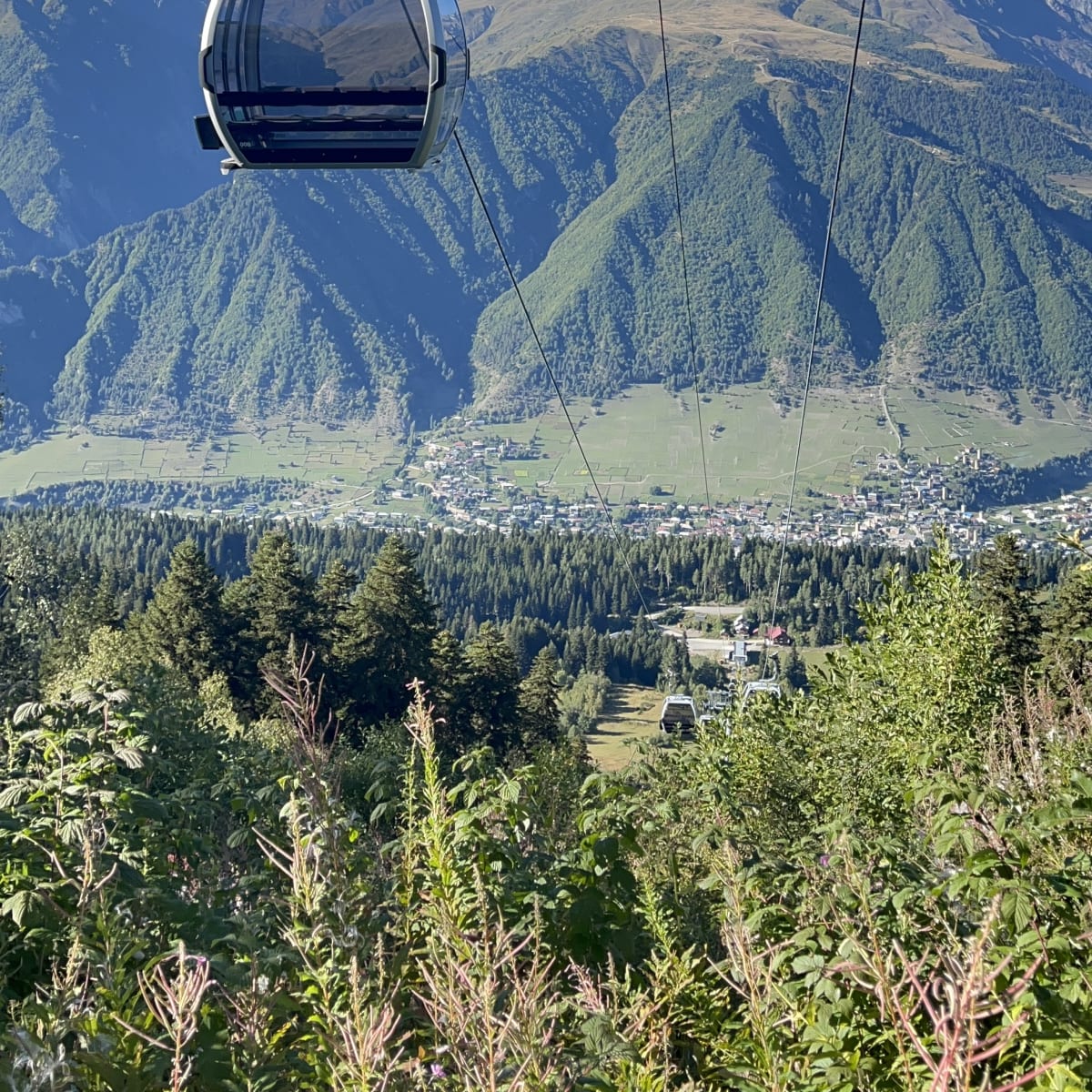
After exiting the forest, I crossed the Hatsvali cable car. The cable car provides an easier, quicker way to Zuruldi ridge if you’d rather not hike or are short on time. But I opted for the challenge and hiked through alpine meadows above the treeline. Snow-capped peaks decorated the horizon in the direction I trekked the previous day. And it was fun watching the cable car pass right above my head.
The final section up to the ridge was nearly a dozen steep, tiring switchbacks. Every few turns, I stopped to catch my breath and admired the stunning mountain vistas. The trail flattens out at the ridge, where you’ll find a restaurant offering gastronomic delights and coffee. Unfortunately, the spot was closed by the time I arrived. I walked a little further up the trail for a fantastic vantage point of Mount Tetnuldi, a 4,858m peak known as the “Queen of the Caucasus.”
I had good luck heading back to Mestia and caught the cable car’s last ride that day. My luck got even better, as I was offered a ride from the cable car all the way to Mestia. The truck navigated the winding mountain roads, and I stared at the forest I walked through earlier. Hungry for a filling meal, I tried kubdari and Georgian wine at a different restaurant. This time I ate at Cafe Panorama, relaxing on the top deck.


Day 3
After a couple of day hikes, I was ready for the multi-day journey that attracts hikers to this pocket of Georgia. I set off on the Mestia to Ushguli trek, aiming to arrive in Europe’s highest continuously inhabited village in three days. I left most of my belongings at the guesthouse, packed what I needed for the adventure, and departed Mestia.
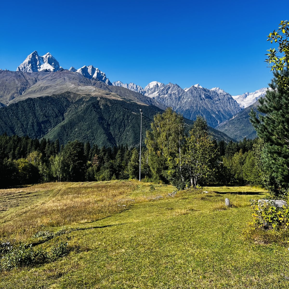
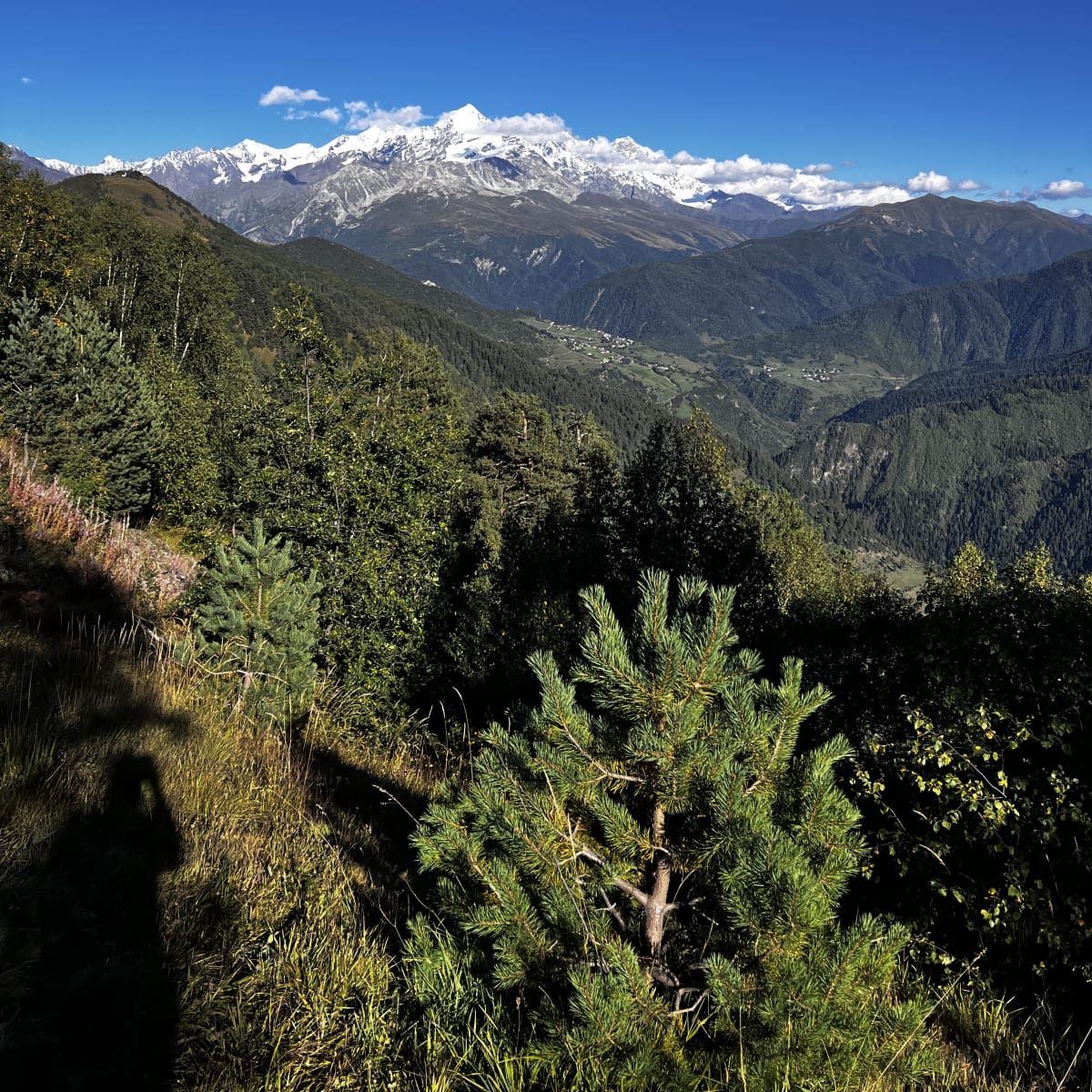
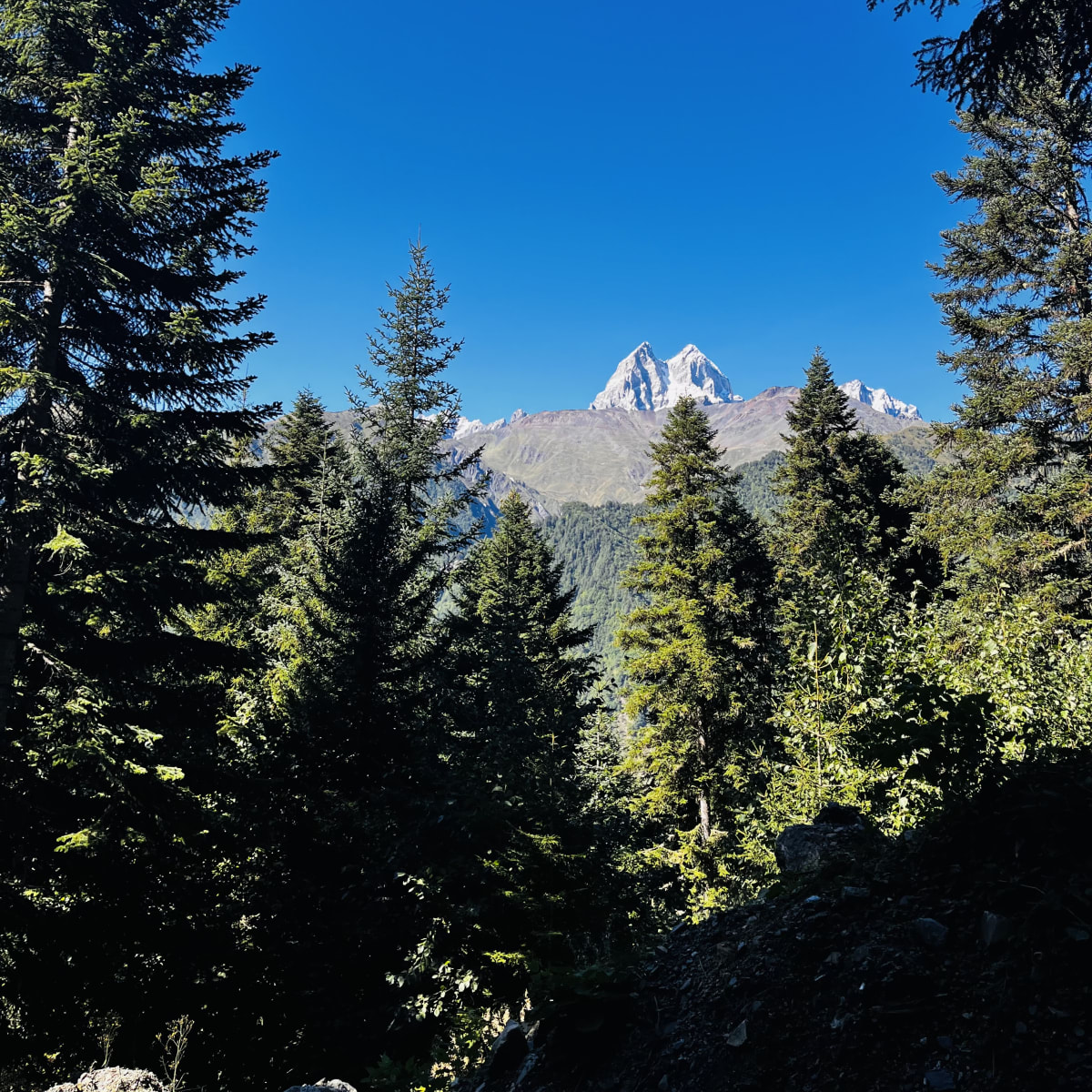
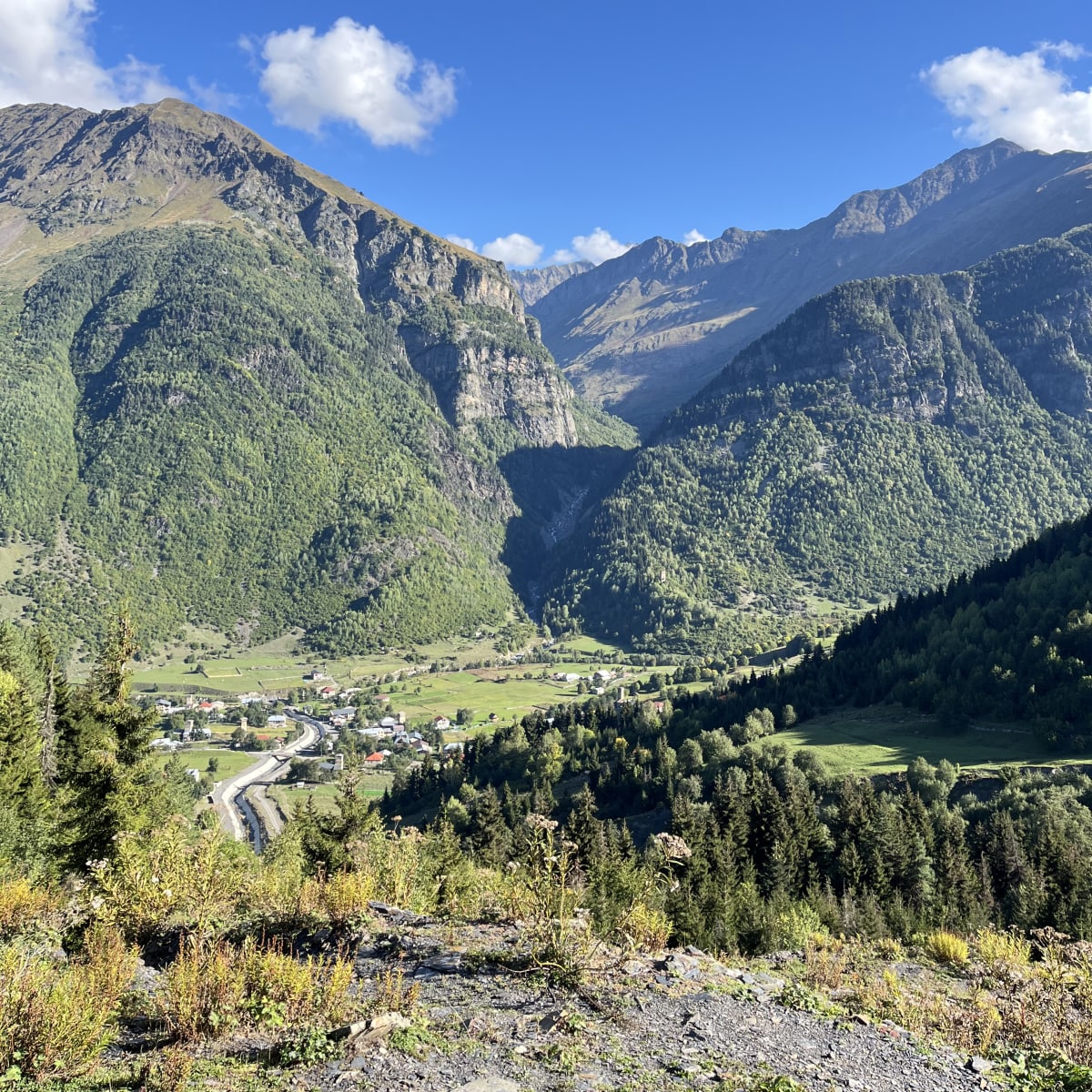
I crossed the river and walked along a gravel road out of town. The road leading out of the valley slowly gained elevation, presenting magnificent views of the forested hills and mammoth peaks overlooking Mestia. I noticed an airstrip and stopped for a while, hoping to see a plane take off or land. After a steep climb through the forest, I spotted cattle grazing in a peaceful meadow. The trail flattened for a while, as craggy summits rose high above.
Then, I found the perfect rest spot for day one of this famous hike. A local had a makeshift shack situated beside the valley, selling snacks, water, and coffee. Naturally, I grabbed some coffee and sat down on a tree stump to enjoy the views. The remainder of today’s hike was in full view, as I could see the village where I would rest for the night. While finishing my coffee, I watched an artist painting the alpine landscape on her canvas.
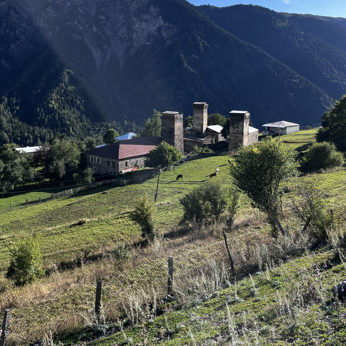
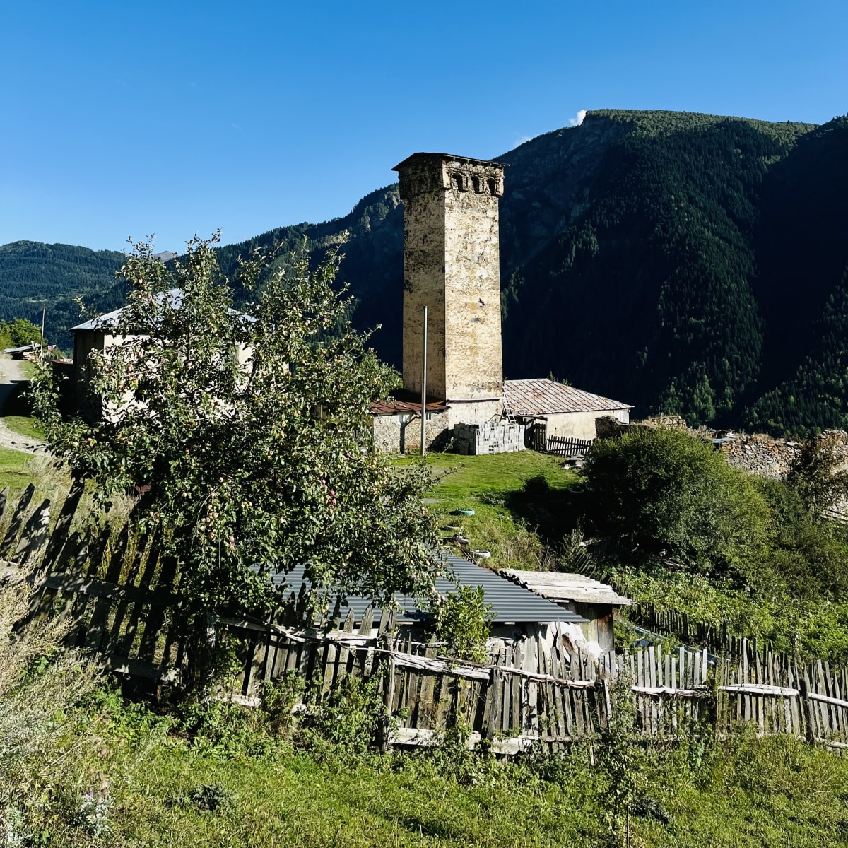
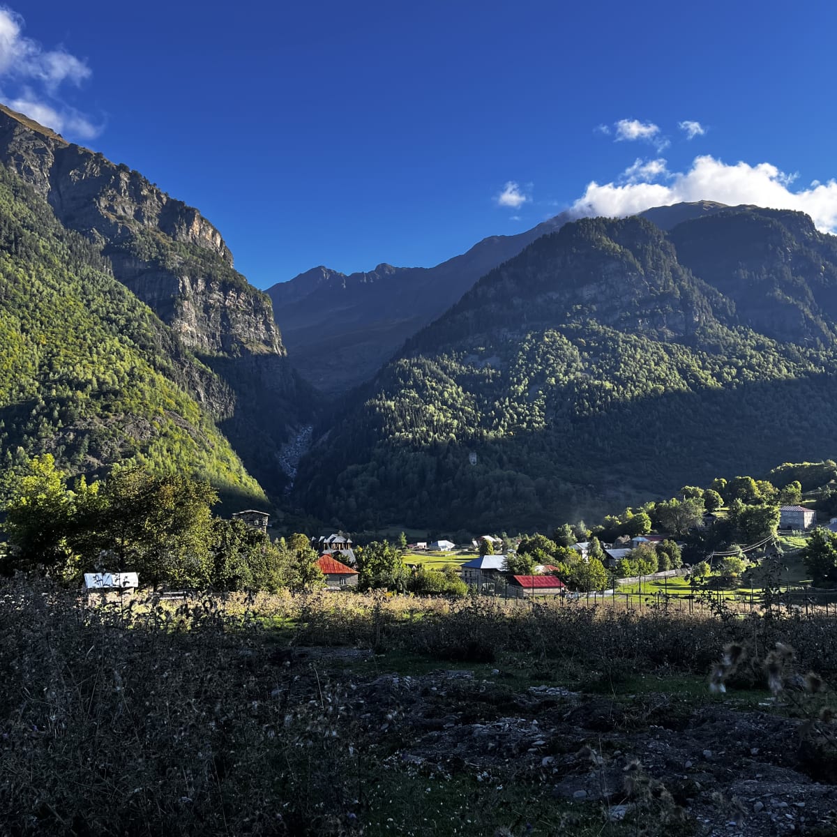
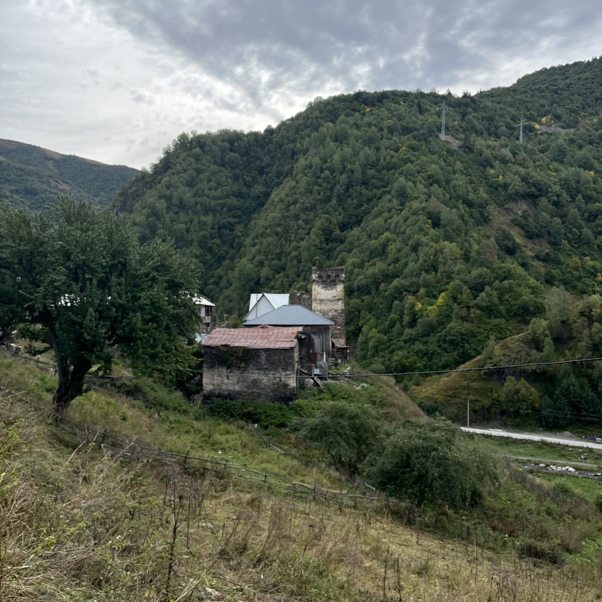
As I entered the valley, I walked through medieval villages and green pastures. Stone towers, grazing animals, and blooming orchards decorated the countryside, giving a glimpse of Georgian mountain life. Each village had signs for guesthouses, offering hikers a place to rest and recover.
I finally made it to Zhabeshi, where I rested after day one. I stayed at the “Fafo” guesthouse, where I enjoyed a home-cooked meal and a warm bed. After an evening of Georgian hospitality, a warm shower, and good conversation, I was well rested for the longest day of hiking.





Day 4
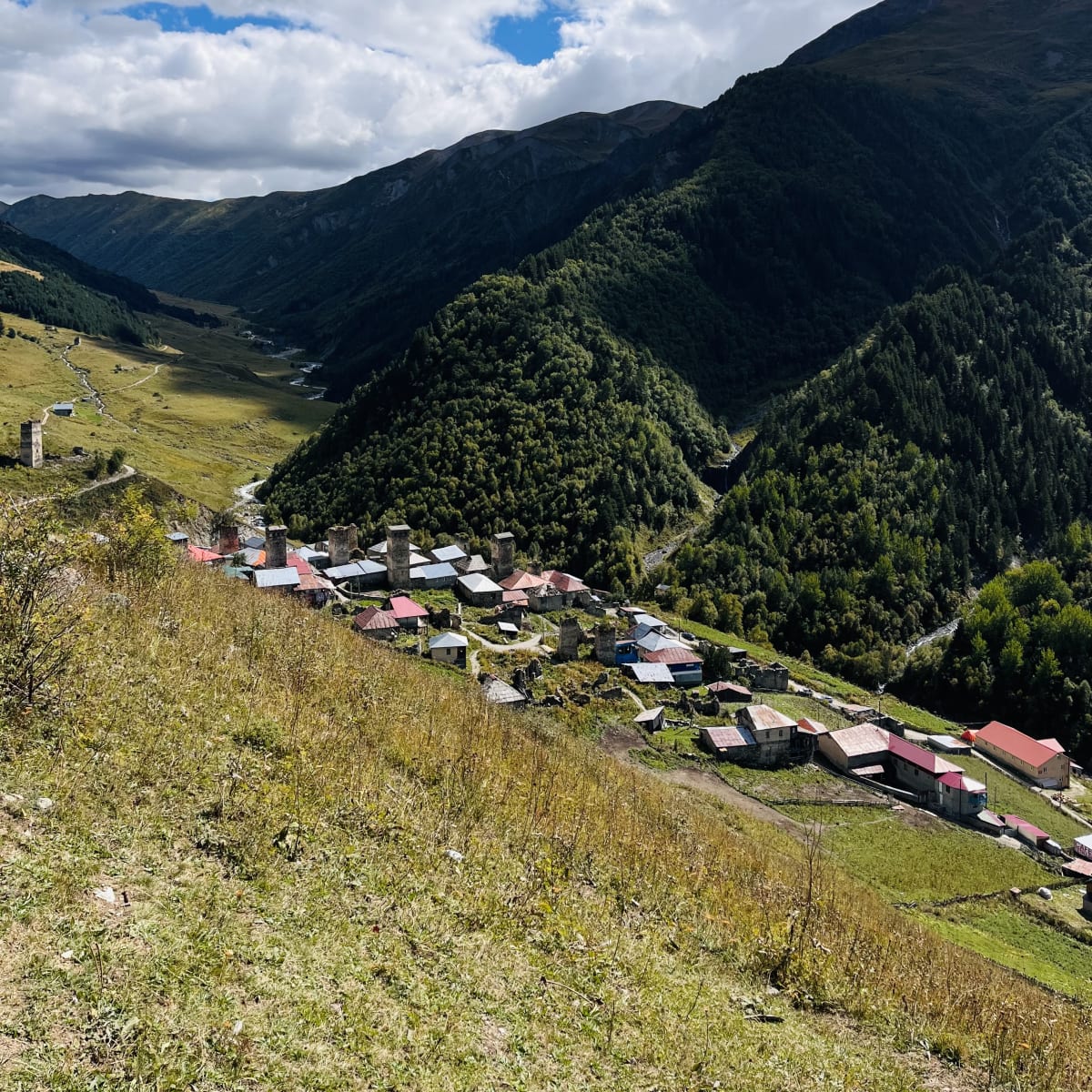
Day two of my hike to Ushguli was the longest, most tiring, and adventure-packed portion of my expedition. I knew it would be roughly a 12-hour day on the trail, so I wanted to start early after breakfast. Right after departing Zhabeshi, I started climbing the hillside to exit the valley. The sun was shining, a light breeze filled the air, and cows started their morning graze. As I trekked above the treeline, I admired the aerial view of the village and said goodbye.
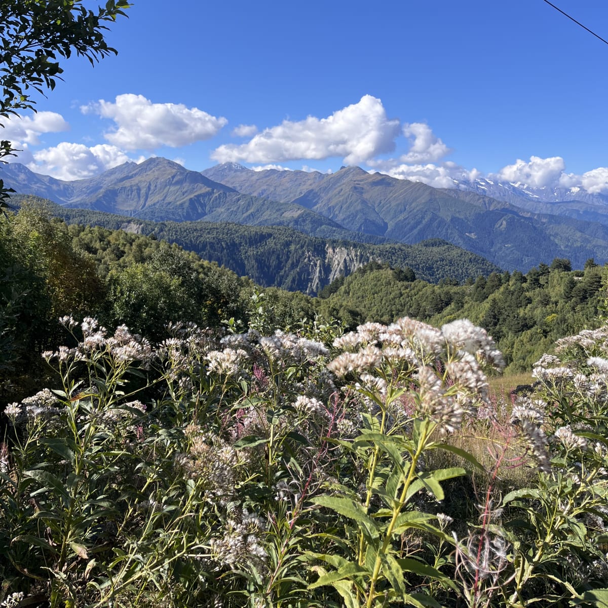
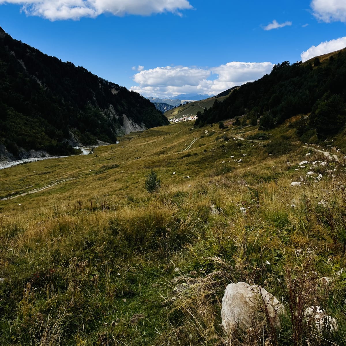
Wildflowers bloomed along the trail as I gazed at the mountain peaks on the distant horizon. The path led me to a roadway, where another local had a small shop with coffee and snacks. After a steep climb up the road, I entered another valley that led me toward the tiny village of Adishi. Just above the village, I passed another cafe selling all sorts of goodies. I stopped for about thirty minutes to eat lunch and quench my thirst. After a coffee to reenergize, I ambled along the hillside with the town directly below.
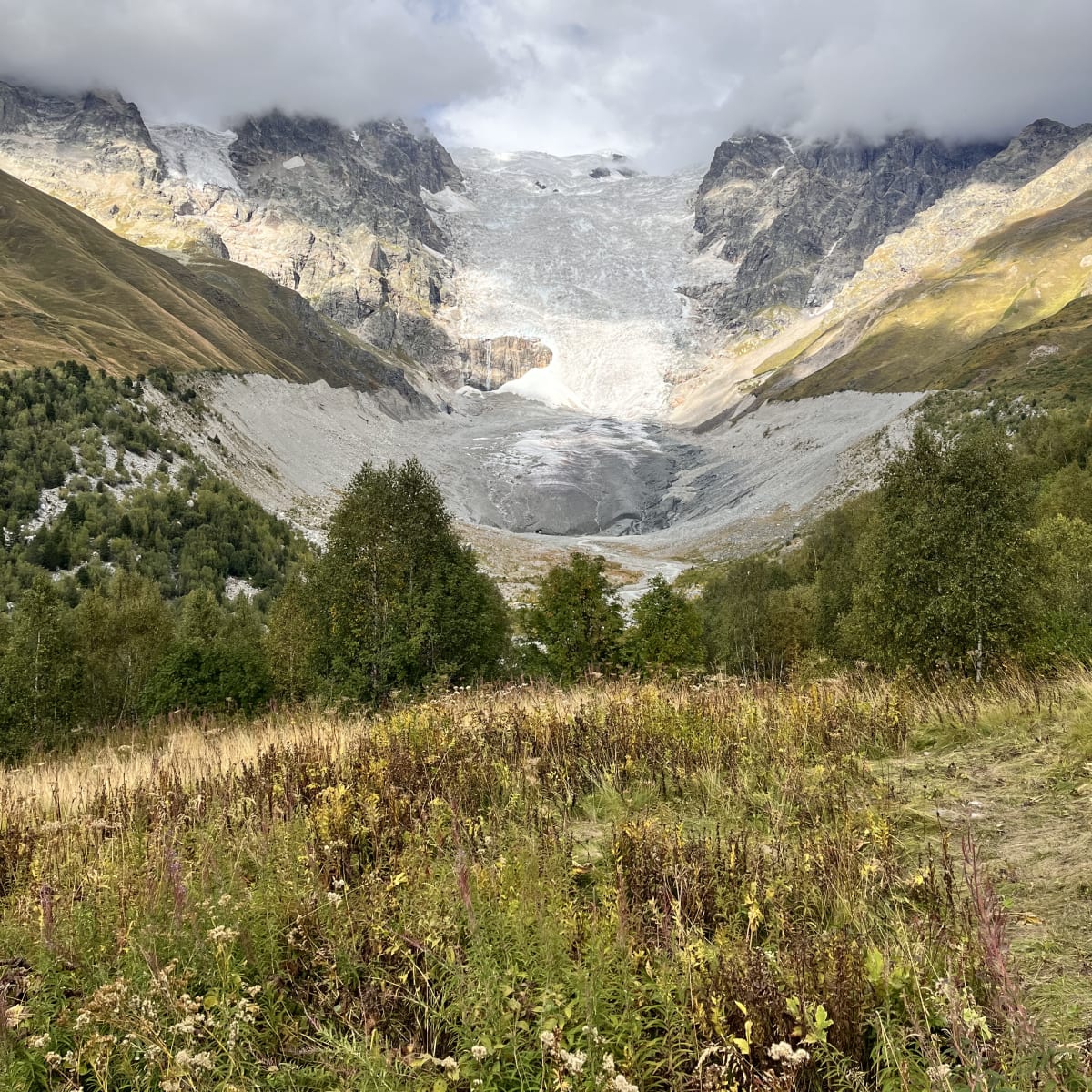
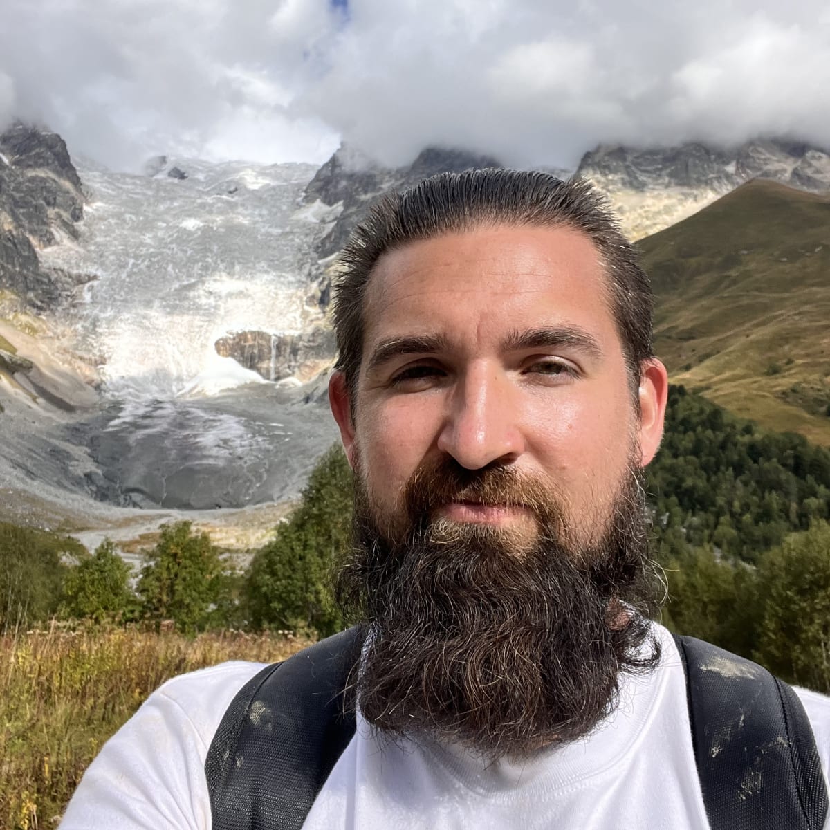
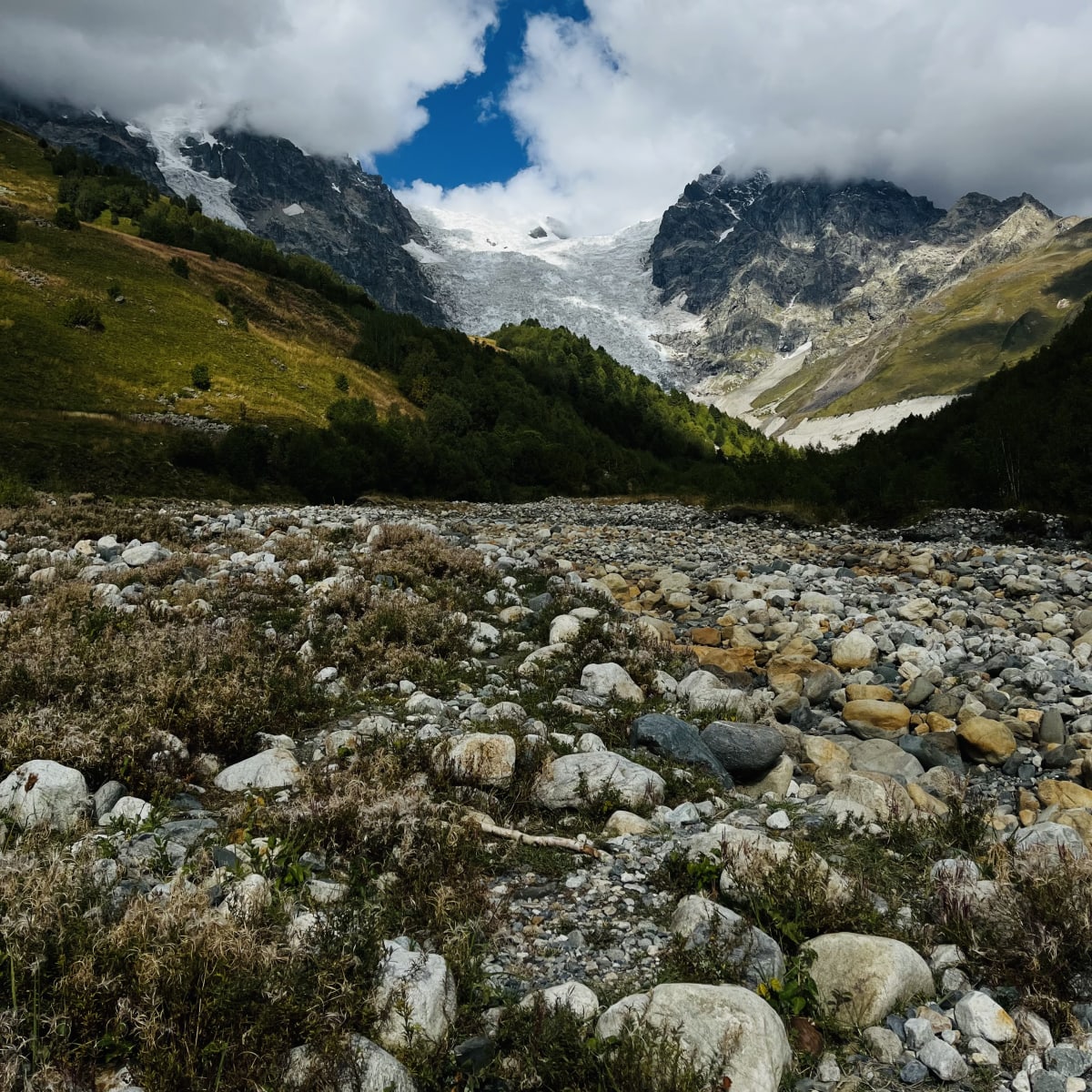
The valley beyond Adishi offered a break from treacherous climbs, as the path flattened along the river for a while. But the most invigorating part of my day wasn’t too far ahead. At the end of the valley, I encountered the glacier that fed the river cutting through the landscape. During peak season, local horsemen wait beside the water to carry hikers across the fast-moving, icy-cold river for a small fee. However, there were no horses during my hike. I ditched my socks and shoes, tied them securely to my backpack, and trudged through the knee-high, frigid river. Rushing water, slippery rocks, and the chill tested my grit. Alas, I’m here to tell the tale.
After warming my feet and lacing my shoes, I found a lookout point facing the mighty glacier. After another brutal climb, I made it out of the valley for one of the most awe-inspiring views. Sunlight poked through the clouds, shining on the glacial river below. I quickened my pace down the hillside as I entered another valley. Iprari was my stopping point for the day, and nightfall was approaching soon.
The trail flattened as I walked along the cliffside above a rushing river. After passing some villages, the path turned into a roadway and curved around the rocky cliffs. The road snaked down the rugged terrain and led straight into Iprari. It was already nightfall when I arrived, so I ate dinner quickly after putting away my belongings. It was much colder here than my first night on the trail, but I slept well after putting on a few layers. The name of the guesthouse I stayed at that night escapes me, but Iprari doesn’t have as many options as Zhabeshi.





Day 5
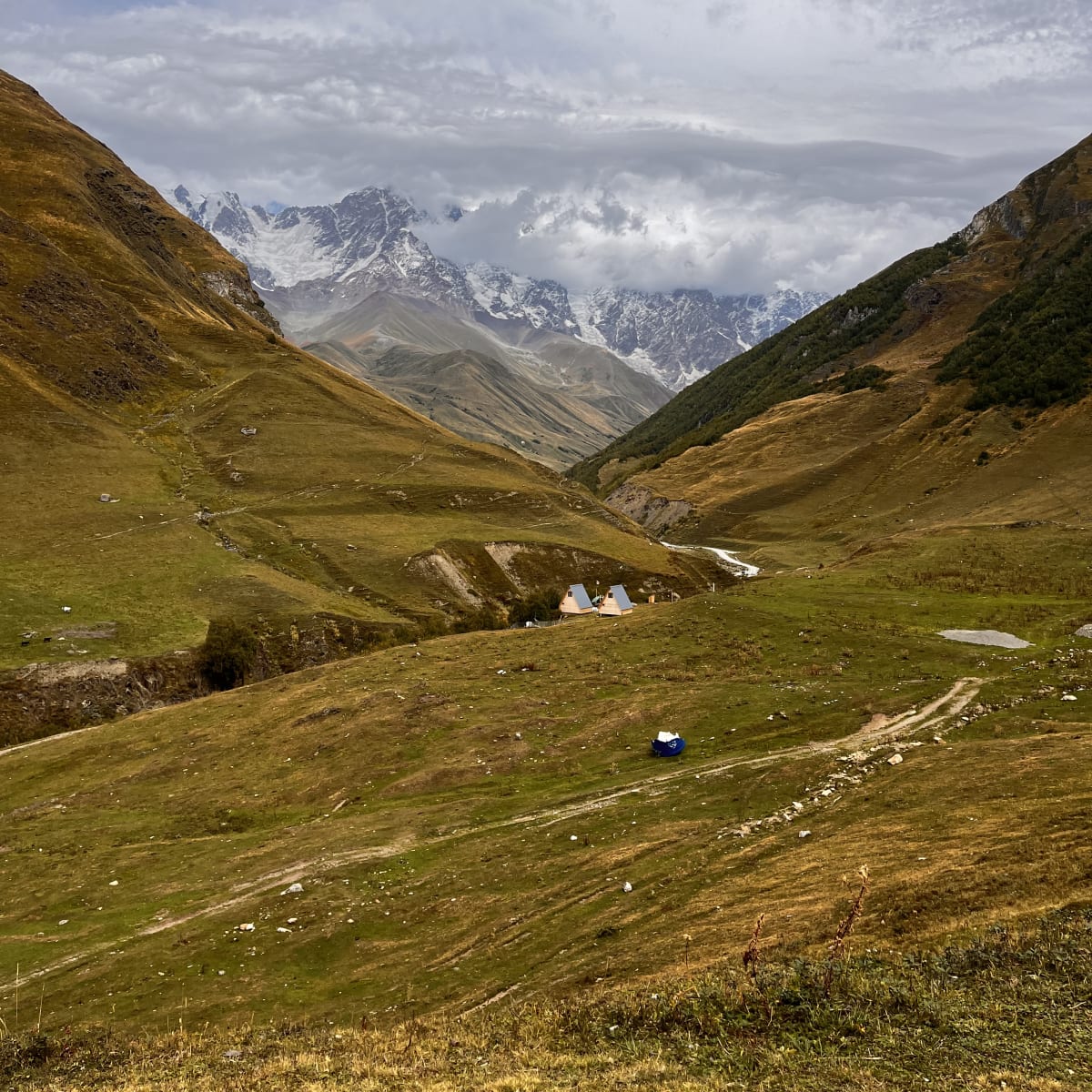
After a brutal day two, Ushguli wasn’t too far ahead. It was a dreary, cloudy day as I started climbing above Iprari toward another valley. Forest-covered hills towered above the roadway, guiding vehicles to Ushguli. But I walked through the forest, said hello to more cattle, and had amazing views of the verdant hills around me. The trail got wet and muddy, but I made it into the final valley leading to the famous village.
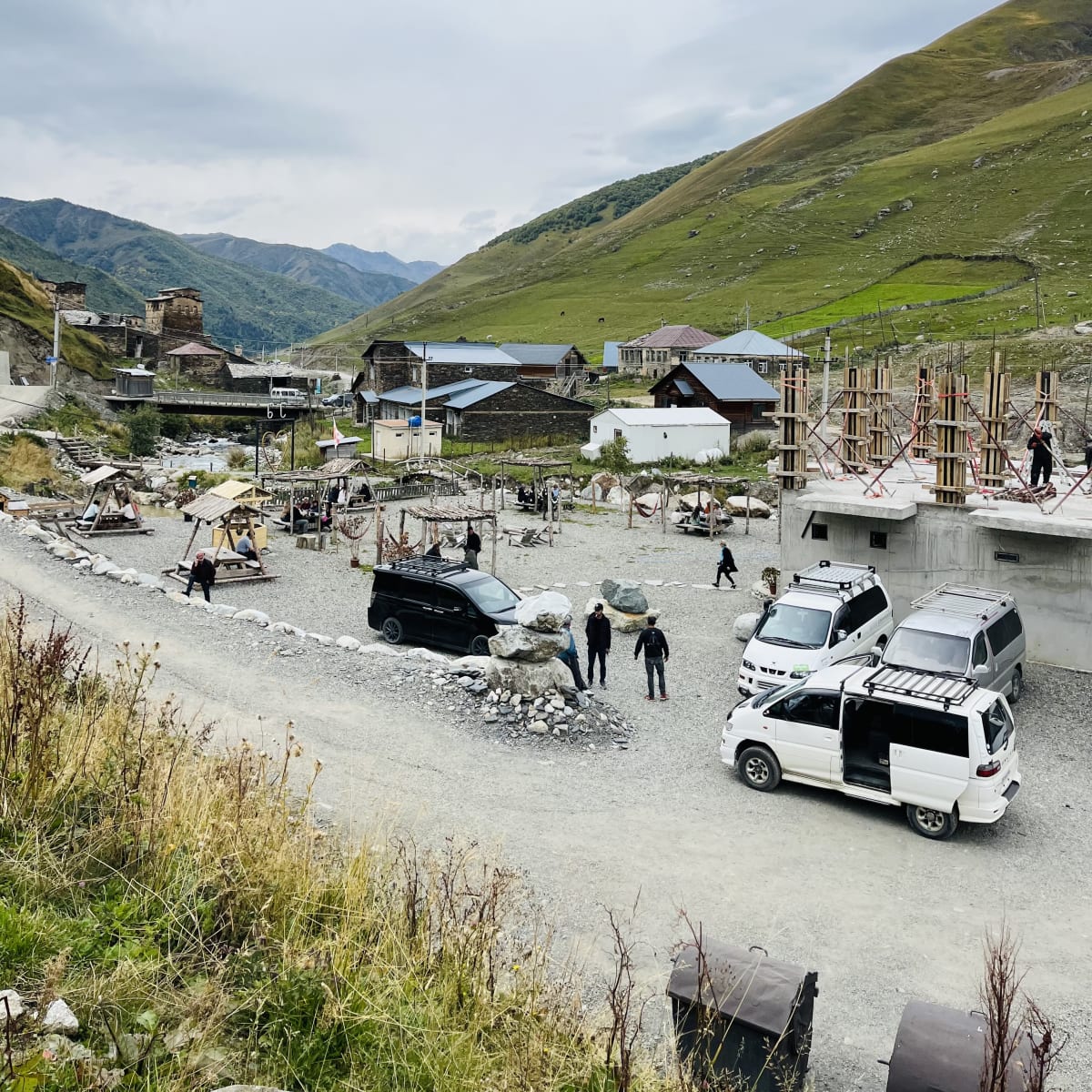
A cafe near the road offered coffee, snacks, and a toilet, but it was immensely crowded. I continued onward, where I saw grazing horses and more medieval villages. After a little farther along the river, I finally made it to Ushguli!
In the shadow of Mount Shkhara, Georgia’s highest peak at about 5,200 meters, Ushguli will amaze mountain lovers who made the long journey. It’s no surprise that Ushguli is often isolated from the world, given the remote setting of the high Caucasus and unforgiving alpine climate. The high-altitude community of ancient villages sits at the head of the Enguri gorge, and heavy snow cuts off the only roadway leading to town for much of the year. That isolation deterred invaders in the Middle Ages and modern developers, retaining Ushguli’s unique architecture and culture.
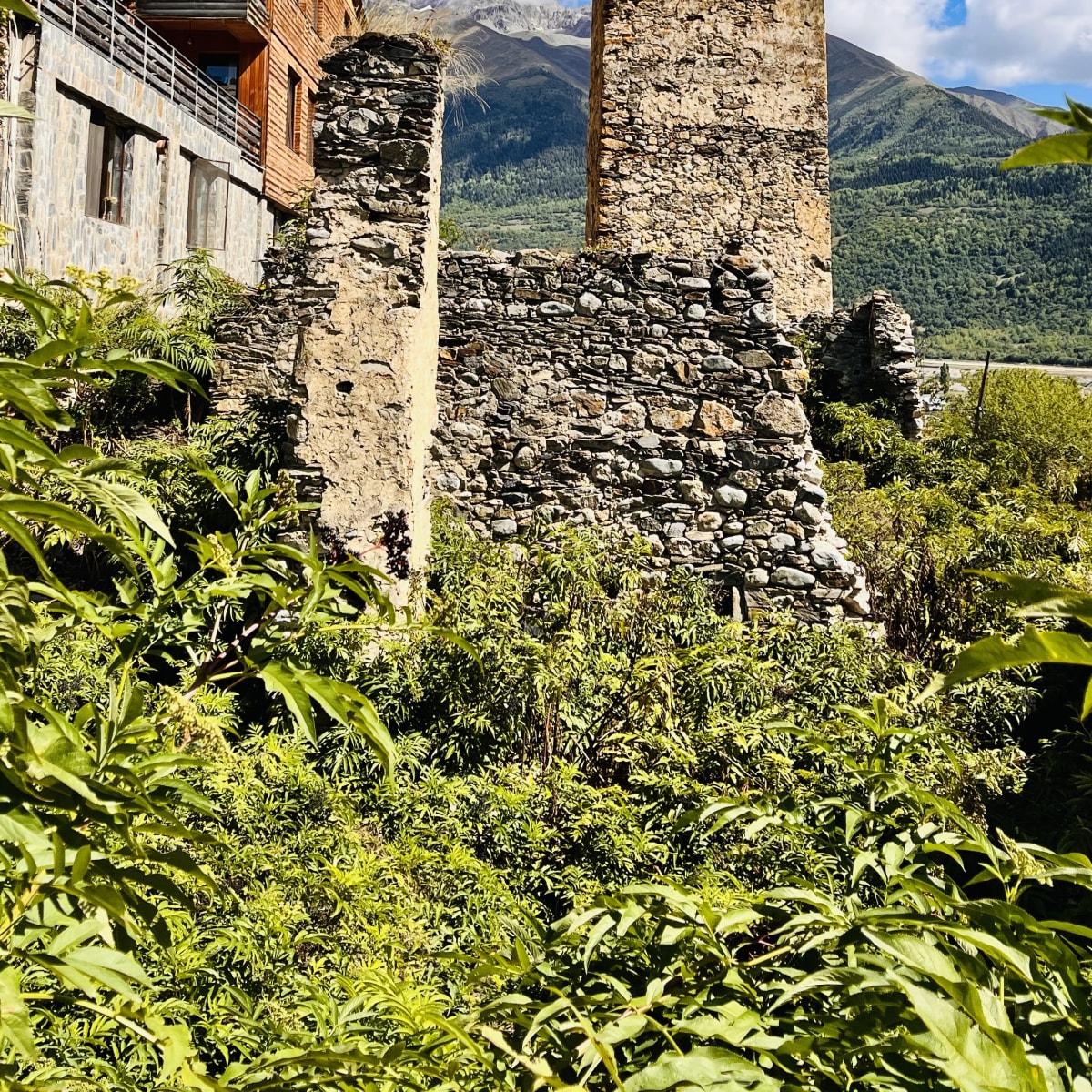
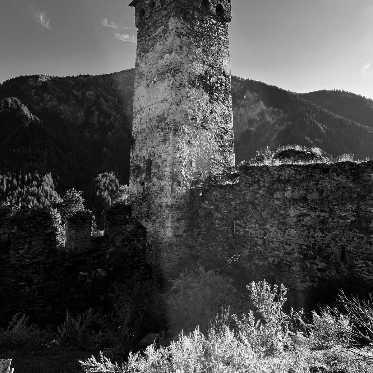
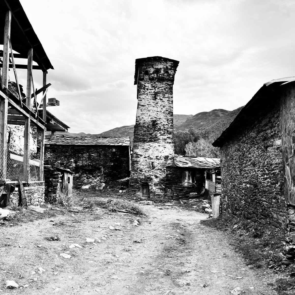
I slowly wandered the villages, taking in the beauty of this place frozen 1,000 years in the past. Svan towers, mostly built between the 9th and 12th centuries, remain the tallest structures overlooking the landscape. These defensive fortifications guarded villages and housed families throughout Svaneti and remain the most iconic symbol of this region of Georgia.
Before searching for the transit hub, I walked to a viewpoint of Mount Shkhara. On one side, you have a direct view of the intimidating peak that separates Georgia and Russia. The other side overlooks the alpine hamlets, with the hills dotting the horizon. My final highlight before departing Ushguli was sipping a refreshing Georgian beer along the river. What better treat to finish my adventure before dozing off on the ride back to Mestia?


Anything you would add or do differently?
-
Spend a night in Ushguli


